“Green Belt” doesn’t mean “never.” It just means that the bar for land development is higher, and the argument must be sharper. The National Planning Policy Framework (NPPF) protects openness and permanence, but it also sets out exceptions and a planning balance where benefits can outweigh harm.
And this is how we can help with green belt land planning permission queries. Intelligent Land blends proprietary AI with three decades of planning expertise to identify credible routes, often finding £1m+ value uplift within 24 hours. Our Land Value Accelerator™ can unlock hidden millions.
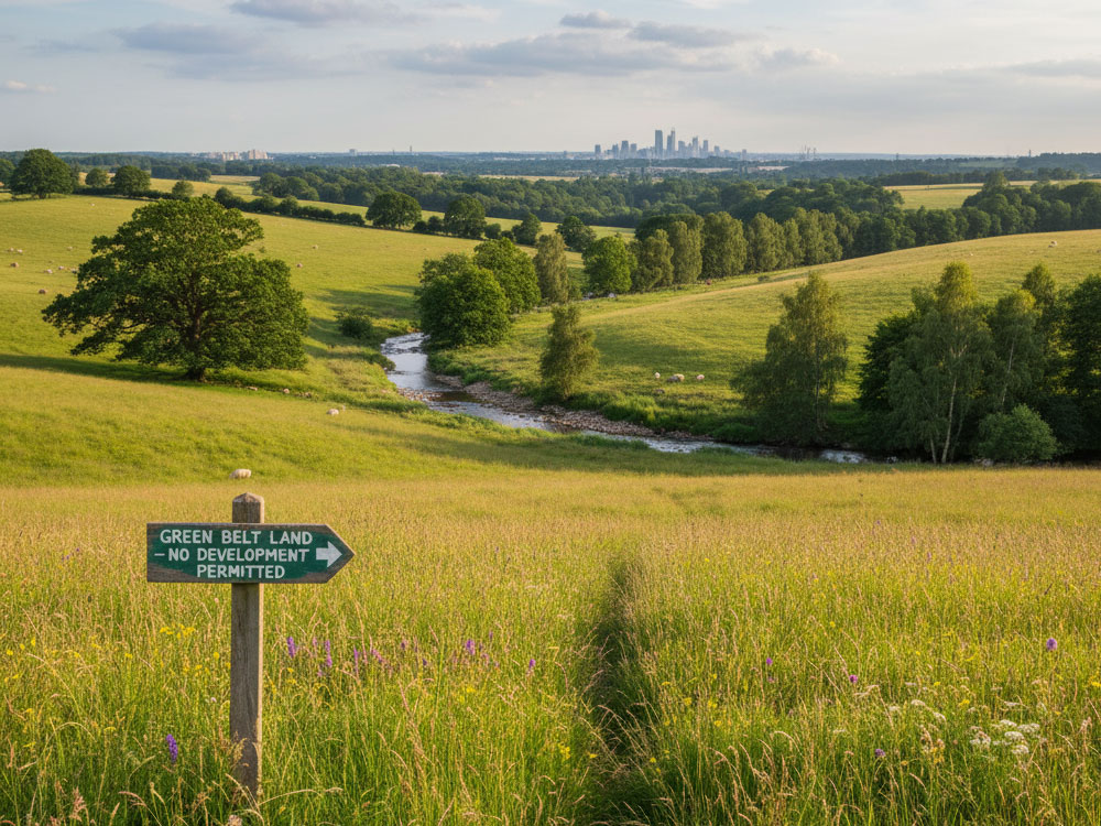
What Counts as Green Belt and Why It Matters
Green Belt planning permission policy exists to keep land permanently open and to prevent urban sprawl. The NPPF lists five purposes: checking sprawl, preventing towns from merging, safeguarding the countryside from encroachment, preserving historic setting, and assisting urban regeneration. Understanding which purpose(s) your site engages is step one in shaping a winnable case.
Previously Developed Land (PDL) isn’t an automatic win. PDL inside the Green Belt can unlock options, but the definition is precise, and “openness” still matters.
When Land Development Can Be Appropriate in the Green Belt
Certain forms of green belt development are not inappropriate if they preserve openness and do not conflict with Green Belt purposes. Examples include limited infilling in villages, redevelopment of PDL, agriculture/forestry, some outdoor sport and recreation, engineering operations, and transport infrastructure.
The test is always: does it harm openness or the purposes of the Green Belt?
Very Special Circumstances (VSC): How They’re Built (and Won)
“Inappropriate” development is refused unless Very Special Circumstances clearly outweigh harm to the Green Belt and any other harm. The practical task is to assemble a cumulative case whose combined weight passes that threshold.
What moves the needle:
- Need and alternatives tested (evidenced local need; lack of reasonable alternatives).
- Socioeconomic benefits (jobs, homes, tenure mix).
- Environmental uplift (BNG, landscape restoration, habitat creation).
- Connectivity and access (active travel; transport improvements reducing car dependency).
- Design codes and verified views proving openness is preserved or enhanced through layout and landform.
The Five Purposes Reframing Your Case for Green Belt Land Planning Permission
For each Green Belt planning permission purpose, articulate no conflict or net benefit:
- Check sprawl – compact layouts, strong defensible boundaries.
- Prevent merging – maintain and strengthen green gaps with landscape buffers.
- Safeguard countryside – restore degraded land and enhance public access.
- Preserve historic setting – heritage-led massing with protected view corridors.
- Assist urban regeneration – prioritise PDL clean-up and remediation.
Use evidence, not adjectives. The right plan-led narrative can turn “harm minimised” into “benefit demonstrated”.
Evidence Pack Essentials (and What Decision-Makers Expect)
- Planning Statement and Policy Matrix mapping NPPF/Local Plan conformity and explicit Green Belt tests.
- LVIA focused on openness with verified views; cut-and-fill strategies to sink massing.
- Transport and access showing permeability without encroachment; links to sustainable modes.
- Ecology and BNG: most schemes in England must deliver 10% BNG (check BNG exemptions and any higher local targets).
- Design Codes that read local character and Green Belt functions.
- Viability and Deliverability: quantify benefits and secure them via conditions/obligations.
Not sure if your site’s truly constrained? Request an LVA evidence gap scan so we can see if there is potential to increase land value.
How to Get Planning Permission for Building on Green Belt Land
Step 1: Diagnose the planning status
Confirm Green Belt designation, any local designations, and emerging plan context (including any Green Belt reviews). Identify whether your proposal can sit within not inappropriate categories (e.g., PDL redevelopment) before you reach for VSC.
Step 2: Establish the openness strategy
Design from the views out: place mass where it hides; remove visual clutter; create the landscape structure early. Use verified viewpoints and ZTV to evidence before/after change.
Step 3: Select the correct route: exception vs VSC
If an exception applies (e.g., limited infill or redevelopment of PDL), demonstrate policy compliance line-by-line. If VSC is required, build a cumulative case including need, benefits, and secured delivery which will show overall benefits clearly outweigh harm, potentially leading to green belt planning permission being approved.
Step 4: Quantify environmental value (BNG and habitats)
Baseline, design habitats, and show deliverability (on-site/offset/credits). Reference the statutory metric and secure long-term management.
Step 5: Engage early (pre-app and stakeholders)
Test the argument with officers, ward members, and key consultees; refine the scheme to address feedback – especially verified visual harm, access, and ecology.
Step 6: Package the application for committee
Tell a clear story: policy hook → openness strategy → benefits → secured delivery. Include a VSC table with weighted evidence.
Step 7: Plan for appeal quality from day one
Assume your documents will be read by an Inspector. Keep your harm/benefit balance explicit and evidenced. Cite proportionate precedents.
Pro move: Run the site through the Land Value Accelerator™ (LVA Method™) first. It stress-tests exceptions versus VSC routes, quantifies BNG uplift and openness benefits, and surfaces the winning scenario, often inside 24 hours.
The LVA Method™: Where the Hidden Millions Are
Black-Box Insights, White-Glove Results.
- Step 1: Review Green Belt Planning Permissions
Rapid scan of status, constraints, Green Belt purposes engaged, and relevant precedents. - Step 2: Undertake Research
Technical, legal, BNG, ESG, utilities, transport, heritage, and landscape mapped into a coherent opportunity model. - Step 3: Scenario Testing
AI-driven layouts, massing, mitigation, and phasing optimised against planning probability and residual land value. Outcome: a committee-ready pathway—and in many cases £1m+ value uplift identified within 24 hours.
Common Routes That Win Green Belt Planning Permission
- Brownfield (PDL) clean-up in the Green Belt: replace diffuse sheds/hardstanding with a compact, landscape-led form that improves openness.
- Estate regeneration with net-openness gains: remove sprawl, consolidate footprints, return land to green infrastructure.
- Community-led and affordable housing where evidenced need and local benefits carry planning weight under VSC.
- Landscape-positive leisure/wellbeing uses that reuse degraded land while securing public access.
- Design-led intensification by transport corridors that reduces car dependency and enhances green gaps.
The LVA Method™ curates 3–5 viable avenues and ranks them by probability of consent vs value uplift, so you don’t waste months on the wrong strategy.
Risk, Timescales, and How to De-Risk
- Stages: pre-app → submission → committee → (if needed) appeal.
- Typical risks: conflict with Green Belt purposes, demonstrable harm to openness, thin VSC, weak BNG delivery, highway objections, design that reads urban.
- De-risking: option testing early; quantified openness strategy; locked-in BNG management; member briefings with clear visuals; legal agreements aligned to benefits.
Biodiversity Net Gain (BNG) and ESG as Value Multipliers
BNG is now a default expectation in England: 10% minimum uplift (subject to limited exemptions), with some LPAs adopting higher local targets – plan accordingly. LVA folds BNG habitat design into scenario testing to strengthen the planning balance. Keep an eye on evolving guidance for small-site treatment and local variations. If you are considering development on farmland, read this guide to BNG opportunities on agricultural land.
Stakeholder Strategy: Winning the Narrative
- What officers and members need: a policy-anchored narrative proving either “exception applies” or “VSC clearly outweighs harm,” evidenced via openness visuals, BNG numbers, and secured benefits.
- Community benefits that resonate: public access, active travel, play, and habitat creation—tangible improvements, not promises.
- Visual storytelling: photomontages and verified views that demonstrate why the proposal preserves or enhances openness in practice.
FAQs on Planning Permission on Green Belt Land
- Is development ever allowed in the Green Belt?
Yes, it is possible. But some development is not inappropriate (e.g., limited infilling, PDL redevelopment) if it preserves openness and does not conflict with Green Belt purposes. Others may proceed where VSC clearly outweigh harm. - What are “Very Special Circumstances”?
A planning balance where benefits clearly outweigh Green Belt harm and any other harm. - Does brownfield land (PDL) inside the Green Belt help?
It can, but you must still address openness and the five purposes, and PDL is defined narrowly in national policy. - How is “openness” measured?
Through evidence: LVIA, verified views, massing/landform strategy, and removal of visual clutter. Decision-makers give substantial weight to any Green Belt harm. - What are realistic timescales?
Expect pre-app to decision over several months depending on complexity and committee cycles; designing for appeal quality at submission reduces delay risk. - Can BNG improve my chances?
Yes. A credible 10%+ BNG scheme with secured management can add planning weight; check local variations.
Ready to unlock hidden millions on your Green Belt site?
Intelligent Land combines proprietary AI with 30 years of planning expertise to uncover options others miss. The Land Value Accelerator™ (LVA Method™) tests hundreds of scenarios and delivers a clear, committee-ready path, often within 24 hours.


